The CAIRT satellite mission is becoming increasingly likely. The European Space Agency (ESA) has now selected the proposal coordinated by the Karlsruhe Institute of Technology (KIT) as one of two remaining candidates for an Earth observation mission for climate research. The final decision will be made in 2025.
ESA’s decision to continue the CAIRT (changing-atmosphere infrared tomography) satellite mission as one of two projects was confirmed on Tuesday (21.11.2023) by the ESA Program Board for Earth Observation. “For us, this means that the mission is now entering what is known as Phase A. This makes our plans much more concrete,” explains Professor Björn-Martin Sinnhuber from the Institute of Meteorology and Climate Research (IMK) at KIT, who is coordinating the scientific work. “If our proposal is then selected by the ESA, we could receive the first data in the early 2030s.” By then, CAIRT could be launched into orbit with ESA’s Earth Explorer 11 satellite. The purpose of the mission is to collect urgently needed data on changes in the Earth’s atmosphere. They are intended to improve knowledge about the coupling of atmospheric circulation, the exact composition of the atmosphere and regional climate changes.
Space tomograph for the atmosphere
The centerpiece of CAIRT is an imaging infrared spectrometer with which a large number of trace gases, aerosols and atmospheric waves can be measured with unprecedented spatial resolution. “We are familiar with tomography as a medical diagnostic tool,” says Sinnhuber. “Basically the same thing happens here, just a bit bigger. It’s a kind of space tomograph for the entire Earth’s atmosphere.” To this end, CAIRT will regularly measure the atmosphere at an altitude of five to 115 kilometers in the infrared range with a horizontal resolution of around 50 by 50 kilometers and a vertical resolution of one kilometer.
Experience in atmospheric remote sensing at KIT
The planned mission builds on many years of experience in atmospheric remote sensing at KIT. KIT researchers have already done pioneering work in recent years with remote sensing using balloons and airplanes. “Together with Forschungszentrum Jülich, we have developed the scientific instrument GLORIA, which can be seen as a kind of prototype for CAIRT,” explains Dr. Michael Höpfner from IMK, who is leading the research with GLORIA at KIT and is also involved in CAIRT. GLORIA has already made great scientific observations, most recently new findings on the transport of aerosols after extensive forest fires in Canada during the PHILEAS measurement campaign with the HALO research aircraft, but also during balloon campaigns. “With the CAIRT satellite mission, we can take this to a new level because we will then receive global measurements on a daily basis,” says Höpfner.
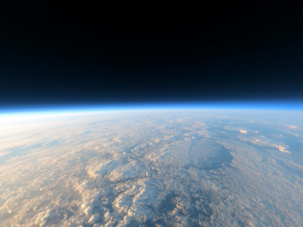
Image above: The Earth’s atmosphere above Timmins in Canada in August 2022, photographed by the GLORIA scientific instrument from a balloon. Photo: KIT

